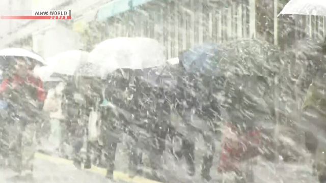
A developing low pressure system is bringing rain, snow and strong winds to a wide area spanning northern to western Japan. Some snow accumulated on Wednesday morning in Tokyo’s 23 wards.
The snowfall has passed its peak in flatlands of the southern part of the Kanto region. More is forecast, mainly along mountains in the Kanto-Koshin region until late Wednesday afternoon. Strong winds are also expected.
The Japan Meteorological Agency says a cold air mass is flowing into the country at high altitudes. Also, a developing low pressure system is moving in an easterly direction.
The agency says these conditions are causing snow and rain, mostly around mountains.
In the 12 hours ending at 11 a.m. Wednesday, 30 centimeters of snowfall was observed in Gunma Prefecture’s Kusatsu Town, 27 centimeters in Nagano Prefecture’s Sugadaira, 18 centimeters in Fukushima Prefecture’s Hinoemata Village and 15 centimeters in Hyogo Prefecture’s Uwano Highland in Kami Town.
Snow fell Wednesday morning in the southern part of the Kanto region, reaching a depth of one centimeter in central Tokyo as of 10 a.m.
Atmospheric conditions became very unstable causing hail in some areas.
Wind is intensifying in a wide area from northern to western Japan.
Gusts instantaneously reached about 97 kilometers per hour on Hachijojima Island in the Pacific at around 9:30 a.m. Wednesday and about 83 kilometers per hour in Obama City, Fukui Prefecture before 11 a.m.
Strong winds will continue to blow in a wide area on Wednesday.
Gusts are forecast over the sea off the Tohoku region. Waves six to nine meters high are expected in some places.
The Meteorological Agency is urging caution amid strong winds, high waves and possible disruptions of traffic due to heavy snow.


AloJapan.com